

New multi-day walking route launches in the North Pennines National Landscape
8th September 2025
This week marks the launch of the 301km (188-mile) Roof of England Walk – a new multi-day walking trail that explores the North Pennines National Landscape and UNESCO Global Geopark.
The Roof of England Walk is a journey around the North Pennines, with its name reflecting its lofty location in the uplands of Northern England. By following this route, people will feel that they are literally on the Roof of England, walking some of the country’s highest footpaths and enjoying views of open moorlands, big skies, and enticing horizons.
It is a challenging walk crossing a wide variety of terrain, from high moorland paths to peaceful riverside trails. The route makes its way through County Durham, Cumbria and Northumberland, the three counties of the North Pennines National Landscape, as well as a section in the Yorkshire Dales National Park to enable a visit to Nine Standards Rigg.
Among the highlights of the route are the spectacular waterfalls of Teesdale in County Durham: Low Force, High Force and Cauldron Snout. In Northumberland walkers will experience the dramatic river gorge at Allen Banks, pass the lead mining site at Dukesfield Arches and discover the history of Blanchland Abbey. The Cumbrian sections take in the jaw-dropping High Cup Nick and High Cup Gill and reach the highest point of the North Pennines at Cross Fell.
The Roof of England Walk offers varied opportunities to experience the landscape and engage with nature at any time of year. It takes walkers alongside rare and important habitats such as blanket bog, species-rich hay meadows, ancient woodland and upland rivers and streams. The area is a haven for bird and wildlife watchers year-round, with a highlight being the great numbers of wading bird species on the high moors in spring and summer.
Walkers can tackle the entire 14-day route in one continuous journey or complete it in four short breaks of three to four days each. The individual legs of the long-distance trail also make great one-day or part-day linear walks.
The route is described from Appleby-in-Westmorland, but as it is circular, walkers can choose one of many convenient starting points, including Haltwhistle, Middleton-in-Teesdale, Wolsingham, Stanhope, Alston, Allendale and Kirkby Stephen. It is accessible by public transport: by train at Appleby, Kirkby Stephen, and Haltwhistle, and by local bus services.
Chris Woodley-Stewart, Director of the North Pennines National Landscape, said: “We have worked with our partners in the visitor economy and access teams in our Local Authorities to develop the Roof of England Walk. We are very pleased to have reached the milestone of making this route available and to be able to share a new way to explore the North Pennines National Landscape and UNESCO Global Geopark.
“Since the very first Roof of England walking festivals in the 1990s, we have encouraged walkers to explore the high uplands of the North Pennines. The name captures the sense of elevation and space offered by a walk through this very special landscape.”
The development of the route has been co-ordinated by the North Pennines National Landscape’s Responsible Tourism Lead, Shane Harris. He said: “It has been a privilege to be part of the team that has realised the ambition of Cllr Bob Pendlebury – the first Chair of what was then known as the North Pennines Area of Outstanding Natural Beauty Partnership. Bob was a leading light in Crook Ramblers, a keen walker, and he was enthusiastic about developing a circular walk around the North Pennines, a landscape he loved.
“I’m sure Cllr Pendlebury would have been delighted that people can now start to enjoy the Roof of England Walk and take their own North Pennines journey.”
Discover the Roof of England Walk at www.RoofofEnglandWalk.org.uk. The website provides detailed route information for each leg, advice on planning your trip, and information on what you can see along the route.
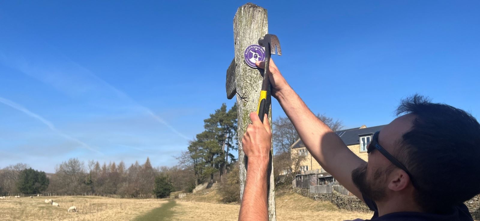
Funding in 2024-25 from Defra’s Farming in Protected Landscapes Programme enabled the National Landscape team to develop the route, including waymarking sections and creating promotional assets.
