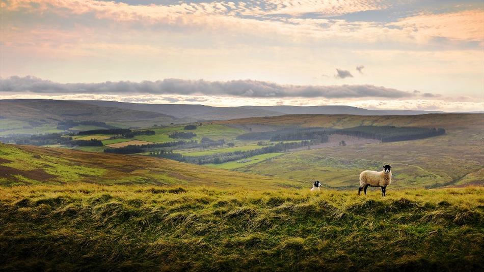
Weardale Way
Finish at Killhope Lead Mining Museum (DL13 1AR)
DL13 1AR
Book Tickets
TripAdvisor
Facilities
Accessibility
- Distance: Over 20 Miles
- Theme: Breathtaking Views
- Theme: Heritage
- Theme: Long Distance
- Theme: Nature
- Theme: Rivers / Reservoirs
- Theme: Tasty Trails
Provider Features
- In countryside
- Walk Distance - 77 miles
Access Information
Opening Times
| 2026 (1 Jan 2026 - 31 Dec 2026) |
|---|
Map & Directions
Road Directions
Sunderland, Durham and Weardale are accessible from the A1(M).
Public Transport Directions
Regular buses serve destinations along the route. The East Coast mainline runs into Durham station and a heritage railway runs between Wolsingham and Stanhope on weekends.


 to add an item to your Itinerary basket.
.png)


