About
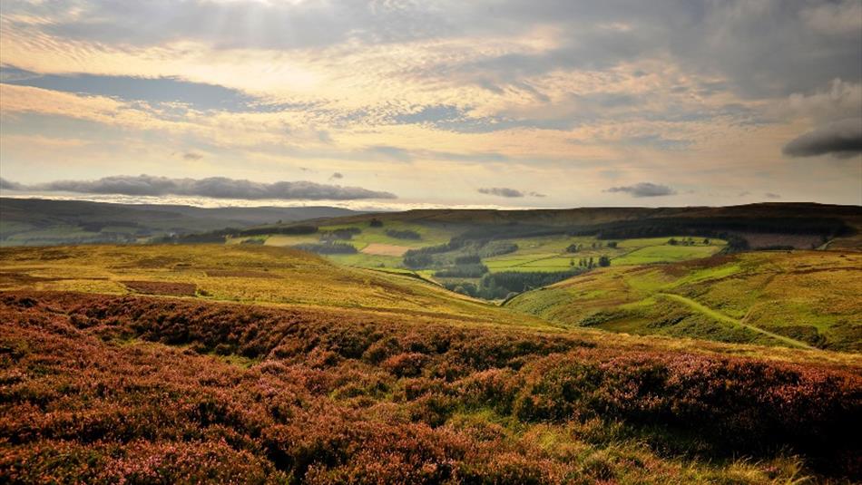
In and around the former lead mining village of Rookhope, this walk takes in both the heritage and the nature of this part of Weardale.
Short Route: 3 miles (5km), moderate
Long Route: 5 miles (8km), strenuous
Starting from the village hall, head north, following the Mineral Valleys Walk signs to make a circular route above the fields of the valley. The walk can be extended up onto the fells, meeting with the fell road on the north side of the valley taking you back down into the village, and the fell road to the south.
This area is covered by the Ordnance Survey Explorer 307 map.
Open Access
Management of ground nesting birds plays a big part in conserving this important and unique habitat therefore, at times, some open access areas will be subject to ‘restrictions’. For more information about Open Access visit:
www.countrysideaccess.gov.uk
Route provided by Access and Public Rights of Way, Durham County Council.
TripAdvisor
Facilities
Accessibility
- Distance: 1-5 Miles
- Grade: Moderate
- Grade: Hard
- Route Surface: Off Road
- Theme: Breathtaking Views
- Theme: Heritage
- Theme: Nature
Parking & Transport
Provider Features
- In countryside
- Walk Distance - 3-5 miles
Access Information
Opening Times
| 2026 (1 Jan 2026 - 31 Dec 2026) |
|---|
Map & Directions
Map Link
View Map
Road Directions
Take the A689 west from Stanhope and turn right onto the Rookhope Road at Eastgate.
Public Transport Directions
The 102 Weardale Travel bus serves Rookhope from Stanhope.


 to add an item to your Itinerary basket.
.png)


