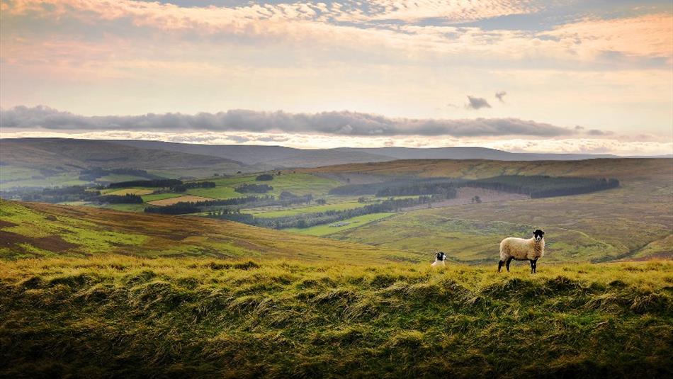
About
The route is approximately 4 miles (6.5 km) one way.
Start from Burtreeford Bridge, Cowshill.
Follow the Mineral Valleys Path waymarks and the Cowshill to Killhope sign posts to the Killhope Lead Mining Museum. The return journey is by the same footpath.
The area is covered by OS Explorer Map OL31
If you would like to walk the route one way only there is a limited bus service (101) which runs beyond its normal journey's end, Cowshill, and continues to Killhope. Please note that this service is only available on request and will need to be arranged at least one day in advance. Please ring 01388 528235 for more details.
Walking Information
Note this route has some steep inclines, is quite exposed and can be wet underfoot in places so please make sure that you…
Tell someone where you are going and your expected time of return;
Wear appropriate clothing and footwear;
Please respect the wildlife and farmland;
Please keep dogs under close control.
Route provided by Access and Public Rights of Way at Durham County Council.
TripAdvisor
Facilities
Accessibility
- Distance: 1-5 Miles
- Grade: Moderate
- Route Surface: Off Road
- Theme: Breathtaking Views
- Theme: Heritage
- Theme: Nature
- Theme: Rivers / Reservoirs
Parking & Transport
Provider Features
Access Information
Opening Times
| 2026 (1 Jan 2026 - 31 Dec 2026) |
|---|
Map & Directions
Map Link
View Map
Road Directions
Take the A689 to Cowshill.
Public Transport Directions
The Weardale Travel service 101 serves Cowshill from Bishop Auckland on Monday to Saturday and runs approximately every 2 hours. On Sundays the 101 runs from Crook to Cowshill every 2 hours between 11am and 7pm.


 to add an item to your Itinerary basket.
.png)


